

Trending Now
 Modern Trainlines and the End of Coal Trains: Why Rail Networks Have Moved Forward
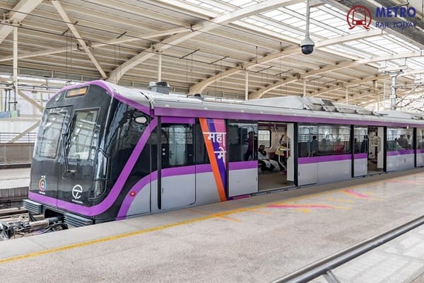 Siemens Bags Order from Titagarh Rail Systems for Pune Metro Extension Trainsets
 Titagarh Rail Systems becomes Corporate Member of Chamber of Railway Industries (Rail Chamber)
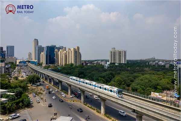 World Bank approves ₹1,400 crore Civil Tender for Gurugram Metro Phase 2
 Bi-RIDE invites ₹200 crore Tender for Soladevanahalli Depot of Bengaluru Suburban Rail Project
 GHV India awarded ₹107.79 crore Civil Contract for Lucknow Metro East-West Corridor
 Pune Metro Line 3 set to launch First 12-km Section on 15 July 2026
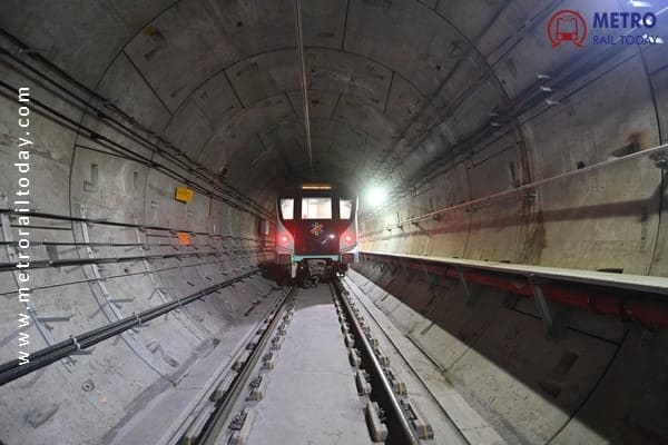 DMRC gets approval to Fell or Transplant 364 Trees for Central Vista Metro Corridor under Phase IV
 ₹4.5 Lakh crore Metro Rail Investment reaches less than 5% of Urban Population in India
 West Bengal plans to launch Water Metro Systems in Kolkata
Tender launched for Bangalore Metro's ₹28,405 crore Hebbal-Sarjapur Metro Corridor
MRT Online Desk
Posted on: 2025-10-13 16:30:00
Viewer: 2,893
Comments: 0
Country: India
City: Bengaluru
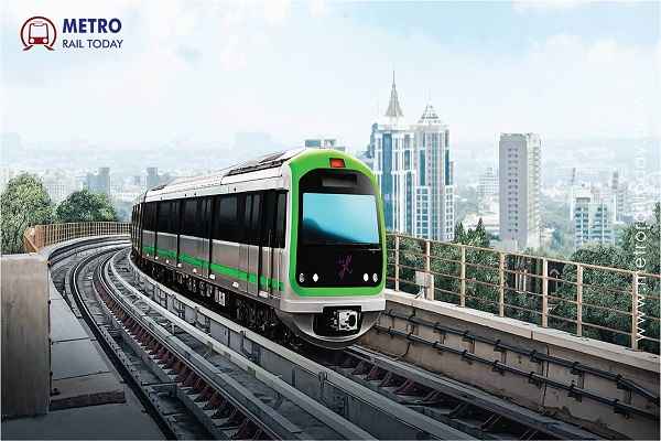
Bengaluru, India (Metro Rail Today): The much-anticipated Red Line of Namma Metro, stretching from Hebbal in the north to Sarjapur in the south, has officially moved closer to reality. As part of Phase 3A, this major corridor will traverse Bengaluru’s key eastern and southern hubs — including Koramangala, Bellandur, and Agara — connecting some of the city’s busiest residential and tech clusters.
According to sources, the Red Line is being positioned as the “final missing link” in Bengaluru’s urban transport network — complementing the operational Yellow Line and the upcoming Blue and Pink Lines — and is expected to dramatically ease mobility along the Outer Ring Road (ORR) corridor.
The Bangalore Metro Rail Corporation Limited (BMRCL) has invited bids worth ₹6.86 crore for geotechnical investigations, a key precursor to construction. The bid submission deadline is November 3, with the chosen contractors expected to complete the surveys within 150 days.
“These investigations will help determine soil and ground conditions for the new metro lines, ensuring safety and efficient design before tunneling begins,” a senior BMRCL official said.
He added that the project combines both elevated and underground alignments, making it “technically complex and cost-intensive.”
“Nearly half the route passes through dense urban areas, so we need precision in every step — from geological assessment to tunnelling design,” the official stated.
Namma Metro’s Most Expensive Project Yet
Estimated at ₹28,405 crore, the Red Line is Namma Metro’s costliest project to date, translating to roughly ₹776 crore per kilometre. The steep costs stem from the extensive underground section, challenging geology, and major land acquisition requirements.
BMRCL requires 161.65 acres for the project, including 55.69 acres of private land near Sarjapur Circle earmarked for the depot. The land acquisition alone will cost about ₹8,080 crore.
“Land acquisition itself forms a major portion of the total cost. Bengaluru’s rocky terrain and inflation-driven cost escalations also add to the challenge,” said the BMRCL official.
“We are exploring cost-optimisation strategies while maintaining technical and safety standards.”
Corridor Design and Timeline
The Red Line will feature 27 stations — 15 elevated and 11 underground — cutting through high-density zones such as Agara, Koramangala, Dairy Circle, Bellandur, NIMHANS, Central College, and Mehkri Circle.
-
Total route length: ~35 km
-
Underground stretch: 16.8 km (Koramangala–Hebbal)
-
Elevated stretch: Sarjapur–Koramangala 3rd Block
-
Tentative completion: December 2030 (may extend to 2031)
Currently, the Detailed Project Report (DPR) is under review by the Union Ministry of Housing and Urban Affairs (MoHUA), which has sought a fresh assessment of underground construction costs. The Centre’s approval is expected by end-2025.
Urban Impact and Integration
Once completed, the Red Line will integrate seamlessly with Bengaluru’s expanding metro network — including the operational Green, Purple, and Yellow Lines, as well as the upcoming Pink Line (2026) and Blue Line (2027).
By connecting tech corridors and residential belts, the line is expected to significantly reduce traffic congestion, improve last-mile connectivity, and support Bengaluru’s sustainable urban mobility vision.
Commenting on the development, Mrs. Mamta Shah, Managing Director & CEO of Urban Infra Group, said:
“The Red Line represents more than just a transport corridor — it’s a strategic investment in Bengaluru’s urban future. By linking residential, commercial, and IT zones through an efficient metro network, the project will enhance productivity, reduce travel time, and contribute to the city’s long-term sustainability goals.”
The Hebbal–Sarjapur Red Line is set to be a game-changer for Bengaluru, addressing mobility challenges across some of its most congested zones. With tenders now floated and groundwork underway, Phase 3A marks another decisive step in transforming India’s technology capital into a global model for integrated and sustainable urban transit.

MRT Online Desk
Metro Rail Today is an authentic and global news provider for the Rail & Metro industry from and around the world.