 Exclusive Insights from Niko Warbanoff, CEO of DB E.C.O. Group on India's Rail & Mobility Future
 Insights from Evgeny Maslov, Chief Industrial Designer of the Vande Bharat Sleeper Train Project
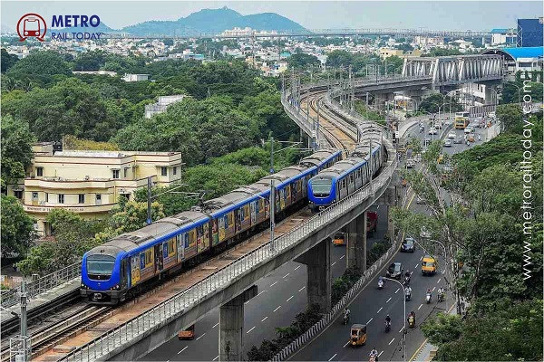 CMRL issues Recruitment Notice for Engineering Positions to strengthen Chennai Metro Expansion
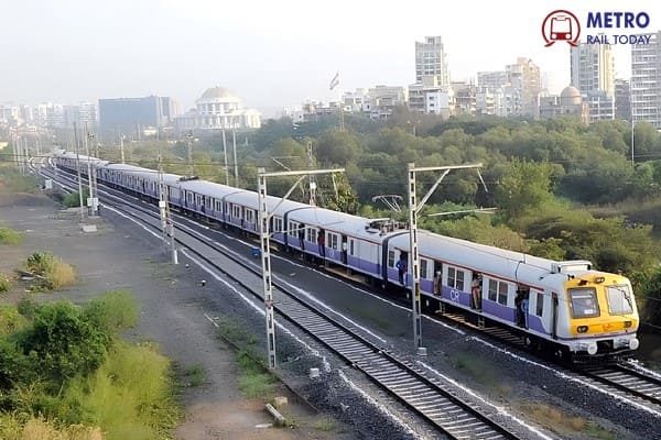 Concord Control Systems bags ₹185 Cr Order for Indigenous KAVACH 4.0 Rail Safety System
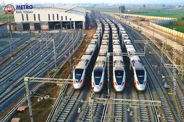 NCRTC to appoint Design Consultant for Jangpura Stabling Yard on Delhi–Meerut RRTS Corridor
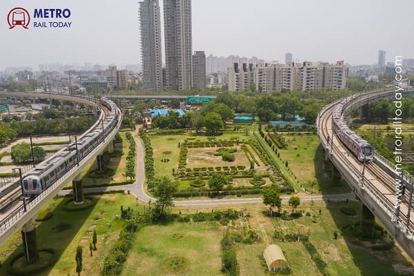 High-Level Task Force constituted to establish Unified Metropolitan Transport Authority in Delhi
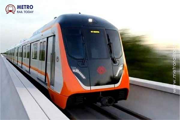 Kanpur Metro conducts Trial Run from Kanpur Central to Naubasta on Corridor 1
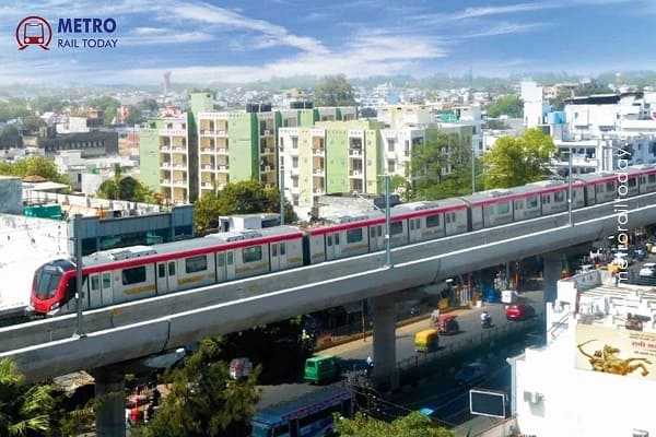 Tender launched for construction of Depot-cum-Workshop of Lucknow Metro East–West Corridor
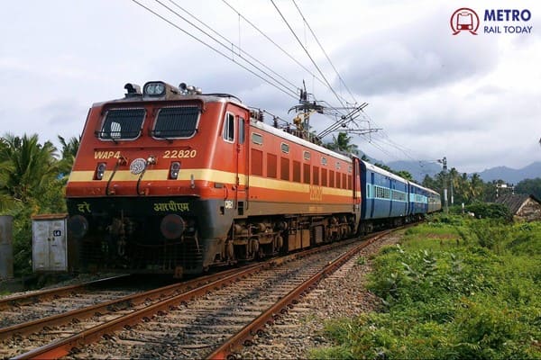 CG Power Subsidiary G.G. Tronics bags ₹433 Crore KAVACH Order from Indian Railways
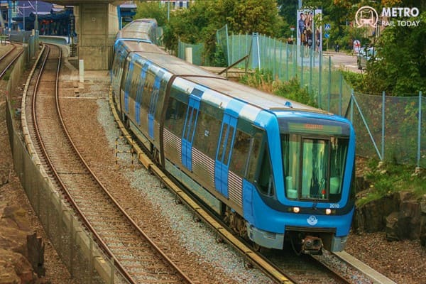 Siemens–Stadler Consortium bags €3 Billion Contract for World’s largest Open ATO Rail System
Bangalore Metro: Project Information, Routes, Fares and other Details
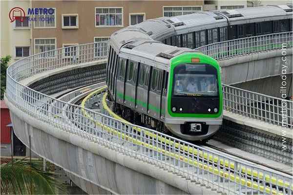
In the bustling urban landscape of Bangalore, India, an ambitious transformation is underway with the development of an extensive metro rail network. With eight metro rail lines spanning a combined length of 254.85 kilometers, this transformative project is poised to revolutionize the city's transportation landscape. Backed by a substantial project cost of Rs. 62,453 INR, this metro rail endeavor is not only set to ease commuter congestion but also foster sustainable urban growth and connectivity for years to come. The metro train operation in the first Phase of the Bangalore Metro project was started on 20 October 2011 and the system is now covering a total of 79.05 km with two lines. By the end of 2027, the Bangalore Metro will cover a total network of 254.85 kilometers.
Project Summary
- Project Name: Bangalore Metro Rail Project (Namma Metro)
- Operator: Bangalore Metro Rail Corporation Limited
- Owner: Govt. of India and Govt. of Karnataka
- Project Type: Mass Rapid Transit System (MRTS)
- No. of Phases: 3
- Total Network Length: 254.85 km
- Project Cost: Rs 62,453 crores
- Funding: Govt. of Karnataka, Govt. of India, JICA, ADB, EIB, Infosys and Biocon
- Status: Operational since October 20, 2011
Routes & Network
#1 Purple Line: Benniganahalli-Kengeri (42.53 km) Operational
#2 Green Line: Nagasandra-Yelachenahalli (36.52 km) Operational
#3 Yellow Line: RV Road-Bommasandra (19.14 km) U/C
#4 Pink Line: Kalena Agrahara-Nagawara (21.38 km) U/C
#5 Blue Line: KR Puram-KIAL Terminals (55.23 km) U/C
#6 Orange Line: JP Nagar 4th Phase- Kempapura (32.15 km) Approved
#7 (TBA): Hosahalli-Kadabagere (12.5 km) Approved
#8 (TBA): Hebbal-Sarjapur (35.4 km) Approved
Operational Routes
Line 1 (Purple): Whitefield - Kengeri
- Route Length: 39.34 km
- No. of Stations: 35
- Stations: Whitefield (Kadugodi), Hope Farm Channasandra, Kadugodi Tree Park, Pattandur Agrahara, Sri Sathya Sai Hospital, Nallur Halli, Kundanahalli, Seetharam Palya, Hoodi, GarudacharyaPalya, Singayyanapalya, Krishnarajapura (KR Pura), Baiyyappanahalli, Swami Vivekananda Road, Indiranagar, Halasuru, Trinity, Mahatma Gandhi Road, Cubbon Park, Vidhana Soudha, Sir M. Visveshwaraya, Majestic, City Railway Station, Magadi Road, Hosahalli, Vijayanagar, Attiguppe, Deepanjali Nagar, Mysuru Road, Nayandahalli, Rajarajeshwari Nagar, Jnana Bharathi, Pattanagere, Kengeri Bus Terminal and Kengeri.
- Depot: Baiyyappanahalli and Kadugodi
Line 2 (Green): Nagasandra - Silk Institute
- Route Length: 30.32 km
- No. of Stations: 29
- Stations: Nagasandra, Dasarahalli, Jalahalli, Peenya Industry, Peenya, Goraguntepalya, Yeshwanthpur, Sandal Soap Factory, Mahalakshmi, Rajajinagar, Kuvempu Road, Srirampura, Sampige Road, Majestic, Chickpet, Krishna Rajendra Market, National College, Lalbagh, Southend Circle, Jayanagar, Rashtriya Vidyalaya Road, Banashankari, Jayaprakash Nagar, Yelachenahalli, Konanakunte Cross, Doddakallasandra, Vajrahalli, Thalaghattapura and Silk Institute.
- Depot: Peenya
Future expansion
Line 1 Extn (Purple): Baiyyappanahalli - Whitefield
- Route Length: 1.54 km
- No. of Stations: 1
- Stations: Benniganahalli
- Depot: Kadugodi
Line 1 Extn (Purple): Kengeri - Challaghatta
- Route Length: 1.314 km
- No. of Stations: 1
- Station: Challaghatta
- Depot: Challaghatta
Line 2 Extn (Green): Yelachenahalli - Silk Institute
- Route Length: 6.2 km
- No. of Stations: 5
- Station: Doddakallasandra, Konankunte Cross, Vajrahalli, Thalgattapura and Silk Institute
- Depot: Anjanapura
Line-3 (Yellow): RV Road – Bommasandra
- Length: 19.143 km
- Type: Elevated
- Number of Stations: 16
- Station Names: Rashtreeya Vidyalaya Road, Ragigudda, Jayadeva Hospital, BTM Layout, Central Silkboard, Bommanahalli, Hongasandra, Kudlu Gate, Singasandra, Hosa Road, Beratena Agrahara, Electronic City, Infosys Foundation Konappana Agrahara, Huskur Road, Hebbagodi and Bommasandra
- Depot: Hebbagodi Depot
Line-4 (Pink): Kalena Agaraha – Nagawara
- Length: 21.386 km
- Type: Elevated (7.501 km) and Underground (13.885 km)
- Number of Stations: 18
- Station Names: Kalena Agrahara, Hulimavu, IIM-Bangalore, JP Nagar 4th Phase, Jayadeva Hospital, Swagath Road Cross, Dairy Circle, Lakkasandra, Langford Town, Rashtriya Military School, MG Road, Shivaji Nagar, Cantonment, Pottery Town, Tannery Road, Venkateshpura, Kadugundanahalli and Nagawara
- Depot: Kothanur Depot
Phase 2A
Line-5 (Blue): KR Puram – Central Silkboard
- Length: 18.236 km
- Type: Elevated
- Number of Stations: 13
- Station Names: KR Puram, Mahadevpura, DRDO Sports Complex, Doddanakundi, ISRO, Marathahalli, Kodibisanahalli, Kadubeesanahalli, Bellandur, Ibbalur, Agara Lake, HSR Layout, Silk Board.
Phase 2B
Line-5 Extn.(Blue): KR Puram – Hebbal – KIAL Terminals
- Length: 37 km
- Type: Elevated, At-Grade and Underground
- Number of Stations: 17
- Station Names: Kasturinagara, Horamavu, HRBR Layout,Kalyan Nagar, HBR layout, Nagawara, Veerannapalya, Kempapura, Hebbal, Kodigehalli, Jakkur Cross, Yelahanka,Bagalur Cross, Bettahalasuru, Doddajala,Airport City and KIAL Terminals
- Depot: Shettigere Depot
Phase 3
Line-6 (Orange) JP Nagar 4th Phase - Kempapura
- Length: 32.15 km
- Number of Stations: 22
- Station Names: JP Nagar 4th Phase, JP Nagar 5th Phase, JP Nagar, Kadirenahalli, Kamakya Junction, Hosakerehalli, Dwaraka Nagar, Mysore Road, Nagarbhavi Circle, Vinayaka Layout, Papireddypalya, BDA Complex Nagarbhavi, Sumanahalli Cross, Chowdeshwari Nagar, Freedom Fighter’s Colony, Kanteerava Nagar, Peenya, Muthyala Nagar, BEL Circle, Nagashetty halli, Hebbal railway station and Kempapura.
- Depot: NA
Line-7 Hosahalli - Kadabagere
- Length: 12.5 km
- Number of Stations: 30 (18.60 km Elevated & 16.80 km Underground)
- Station Names: Hosahalli, KHB Colony, Kamakshipalya, Sumanahalli Cross, Sunkadakatte, Herohalli, Byadarahalli, Kamath Layout, Kadabagere. It will integrate with Metro at the two stations of Hoshahalli and Sumanahalli Cross.
- Depot: NA
Line-8 Hebbal – Sarjapur
- Length: 35.40 km
- Project Cost: Rs 15,000 crore
- Number of Stations: 30 (18.60 km Elevated & 16.80 km Underground)
- Station Names: Hebbal, Veterinary College, Gangenahalli, Mekri Circle, Palace, Guttahalli, Cunningham Road, Basaveshwara Circle, Central College, Town Hall, Wilson Garden, Nimhans, Dairy Circle, Sudduguntepalya Koraman, St.Johns Hospital, Gala, Jakkasandra, Agara, Ibbalur, Bellandur Gate, Kaikondrahalli, Doddakanalli Gate, Carmelaram, Ambedkar Nagar, Kodati, Sulikunte, Muthanallur Cross, Dommasandra Circle, Sompura and Sarjapur.
- Depot: NA
Train Maintanance Depot
Phase I - Line 1 (Purple) - Baiyappanahalli (Operational)
Phase I - Line 2 (Green) - Peenya (Operational)
Phase II - Line (Yellow) - Hebbagodi (Under Construction)
Phase II - Line 3 (Green) - Kothanur (Under Construction)
Banaglore Metro Route Map
Click to view on Google Maps
Key Dates
- 25 April 2006: Phase 1 of the Bangalore Metro project was approved by Govt of India.
- 24 June 2006: Foundation stone laid down by former Prime Minister Dr. Manmohan Singh.
- 15 April 2007: Construction work on Phase I started.
- 20 Oct 2011: Baiyyappanahalli – MG Road (Line 1/Phase 1) – 6.7 km.
- 01 March 2014: Yeshwanthpura - Sampige Road (Line 2/Phase 1) 5.1 km.
- 01 March 2014: Peenya Industry - Yeshwanthpura (Line 2/Phase 1) 4.8 km.
- 16 November 2015: Magadi Road - Mysuru Road (Line 1/Phase 1) 6.5 km.
- 01 May 2015: Nagasandra - Peenya Industry (Line 2/Phase 1) 2.5 km.
- 30 April 2016: M G Road - Magadi Road (Line 1/Phase 1) 4.8 km.
- 18 June 2017: National College - Sampige Road (Line 2/Phase 1) 4 km.
- 18 June 2017: National College - Yelachenahalli (Line 2/Phase 1) 7.6 km.
- 15 January 2021: Yelachenahalli - Silk Institute (Line 2/Phase 1) 6.3 km.
- 30 August 2021: Mysuru Road - Kengeri (Line 1/Phase 1) 7.6 km.
- 26 March 2023: Krishnarajapuram - Whitefield (Kadugodi) (Line 1/Phase 1) 13.7 km.
- 09 October 2023: Baiyappanahalli - Krishnarajapuram (Line 1/Phase 1) 2.1 km.
- 09 October 2023: Kengeri - Challaghatta (Line 1/Phase 1) 2.05 km.
