

Trending Now
 Ranjit Buildcon Wins ₹383.98 Crore Civil Contract for Lucknow Metro Phase 1B
 Tamil Nadu seeks Central Support for new Metro Rail Projects in Coimbatore, Hosur and Madurai
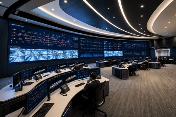 Future Metro Control Centres: ST Engineering Transforms Command Rooms to Intelligent Nerve Centres
 Kochi Metro unveils Visionary Design for Phase II Pink Line Metro Stations
 Design Consultancy Tenders floated for Ahmedabad Metro Phase 3 Elevated Corridors
 Global Metro Rail Infrastructure Market projected to reach US$ 78.3 billion by 2033
 Kinet’s Vande Bharat Sleeper Concept wins prestigious Italian A’ Design Award
 SYSTRA awarded Design Consultancy Contract for Ahmedabad Metro Phase 2 Extensions
 TBM Servarayan achieves Tunnel Breakthrough on Corridor 3 of Chennai Metro Phase 2
 India targets 350 kmph Indigenous Bullet Train to accelerate High-Speed Rail ambitions
Matrix Geo bags NWR Contract for Drone-Based Monitoring of 272 km Rail Doubling Project
MRT Online Desk
Posted on: 2026-04-08 14:00:00
Viewer: 1,448
Comments: 0
Country: India
City: New Delhi
New Delhi, India (Metro Rail Today): Matrix Geo Solutions Limited has secured a significant contract from North Western Railway (NWR) for advanced project monitoring of the ongoing Luni–Samdari–Bhildi double line project. The Letter of Acceptance marks a notable step in integrating cutting-edge geospatial and drone technologies into large-scale railway infrastructure execution in India.
Headquartered in Jaipur, North Western Railway has awarded the contract for aerial videography-based monitoring of the 271.97 km corridor. The project will be carried out over a period of 30 months, with a total contract value of approximately INR 3.07 crore.
As railway projects grow in scale and complexity, the adoption of technology-driven monitoring solutions is becoming increasingly vital. Under this contract, Matrix Geo Solutions will deploy advanced UAV systems equipped with high-resolution cameras and sensors to capture 4K geo-tagged video data along the entire alignment on a monthly basis.
The captured data will include precise GPS metadata mapped to each frame, enabling accurate tracking and assessment of construction activities. Post-processing of the data will allow for detailed change detection across various stages of the project, including earthwork, ballast laying, track installation, bridge construction and associated infrastructure development.
This approach is expected to significantly improve project oversight by enabling early identification of deviations, enhancing coordination among stakeholders, and ensuring adherence to project timelines. Additionally, drone-led monitoring is anticipated to reduce the need for frequent physical inspections by senior officials by nearly 50 percent, while also cutting reporting turnaround time by around 25 percent.
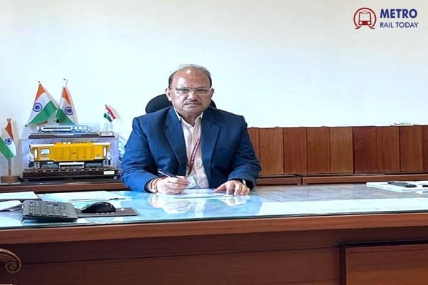
Speaking on the project win, Amit Sharma, Whole Time Director, Matrix Geo Solutions Limited, said, “This mandate from North Western Railway further expands our work in railway infrastructure projects. Corridors of this scale require continuous oversight and precise data to keep execution on track. Through UAV-led monitoring, we aim to provide clear, real-time visibility into progress, enabling faster decision-making and better coordination. We are confident in our ability to support efficient execution while maintaining strong control over timelines across the project lifecycle.”
Commenting on the development, Mrs. Mamta Shah, MD & CEO, Urban Infra Group, said, “The integration of drone-based monitoring in railway infrastructure projects marks a transformative shift towards data-driven execution and real-time decision-making. Such technologies not only improve efficiency and transparency but also enhance safety and accountability across large-scale projects. This initiative reflects how digital innovation is becoming central to the future of rail infrastructure development in India.”
The Luni–Samdari–Bhildi double line project is a critical rail corridor, and the implementation of high-frequency aerial monitoring will ensure better visibility into on-ground progress. Real-time drone feeds and analytics will provide stakeholders with actionable insights, enabling faster and more informed decision-making throughout the project lifecycle.
Matrix Geo Solutions brings over 25 years of global experience in geospatial intelligence, with operations spanning the USA, Europe, Africa and Asia. The company has delivered solutions across sectors such as railways, highways, mining, water resources, power transmission, oil and gas and urban development.
With its expertise in satellite imagery, drone-based surveys, GIS mapping and remote sensing, Matrix Geo Solutions is well-positioned to deliver accurate and reliable insights for complex infrastructure projects. The deployment of these advanced technologies on the Luni–Samdari–Bhildi corridor is expected to set a new benchmark in digital project monitoring for Indian Railways.


MRT Online Desk
Metro Rail Today is an authentic and global news provider for the Rail & Metro industry from and around the world.