

Trending Now
 Assam Govt Cabinet approves four-phase Guwahati Metro Rail Project with ₹18,000 crore Investment
 RITES awarded DPR Contract for 55-km Nagpur Metro Phase 3 Expansion with Four New Corridors
 Mumbai Metro One secures ₹2,771 crore Debt Restructuring, Insolvency proceedings set to end
 TBM Durga achieves major tunnel breakthrough at Victoria for Kolkata Metro Purple Line Expansion
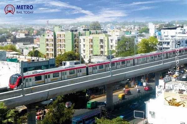 UPMRC floats ₹670 Crore Rolling Stock Tender for 45 Metro Cars for Lucknow Metro Phase 1B
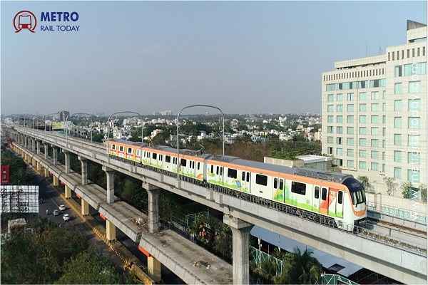 Maha Metro launches ₹994.78 crore Rolling Stock Tender for Nagpur and Pune Metro Phase 2
 Afcons Infrastructure wins ₹1,045 crore Civil Contract for Ramwadi–Wagholi Metro Corridor in Pune
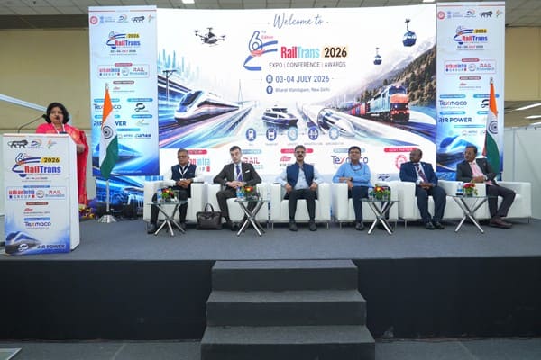 6th RailTrans Expo 2026 concludes on a Grand Note, Reinforcing India's Vision for Viksit Rail 2047
 Keralam High-Speed Rail proposal is technically feasible but project cost may double: Expert Panel
 DMRC begins Construction work on Inderlok–Indraprastha Corridor under Delhi Metro Phase 4 Expansion
Hyderabad Metro: Project Information, Routes, Fares and other Details
Sangeeta Singh
Posted on: 2022-01-25 12:36:00
Viewer: 9,788
Comments: 0
Country: India
City: Hyderabad
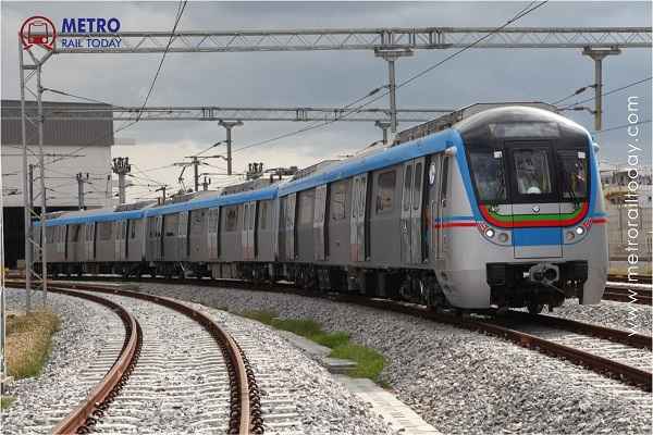
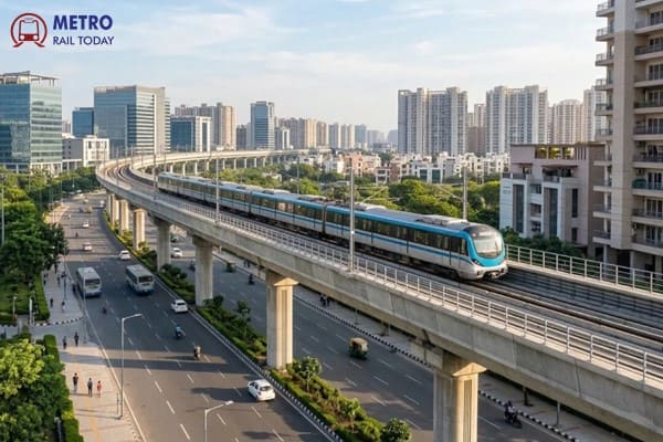
In the bustling urban landscape of Hyderabad, India, an ambitious transformation is underway with the development of an extensive metro rail network. With thirteen metro rail lines spanning a combined length of 581.41 kilometers, this transformative project is poised to revolutionize the city's transportation landscape. Backed by a substantial project cost of Rs.87,100 cr. INR, this metro rail endeavor is not only set to ease commuter congestion but also foster sustainable urban growth and connectivity for years to come. The metro train operation in the first Phase of the Hyderabad Metro project was started on 29 November 2017 and the system is now covering a total of 69.2 km with 3 lines. By the end of 2028, the Hyderabad Metro will cover a total network of 581.41 kilometers.
Project Summary
- Project Name: Hyderabad Metro Rail Project
- Owner: Hyderabad Metro Rail Limited, Govt. of Telangana
- Operator: L&T Metro Rail (Hyderabad) Limited
- Project Type: Mass Rapid Transit System (MRTS)
- Planned Metro Rail Network: 188 km (7 Lines)
- Operational Network: 69.21 km
- Project Cost: INR 18,800 Crore
- Funding Pattern: PPP Mode
- Start Date of Operation: 29 November 2017
Routes & Network
#1 Red Line: Miyapur - LB Nagar (29.21 km) Operational
#2 Green Line: JBS – Falaknuma (15.2 km ) Operational (11 km)
#3 Blue Line: Raidurg – Nagole (29 km) Operational
#4 Airport Express: Mindspace Junction – Rajiv Gandhi International Airport (RGIA) (31 km) Approved.
Operational Routes
Line 1 (Red Line): Miyapur – LB Nagar (via Ameerpet)
- Route length: 29.87 km (Operational)
- Total Stations: 27 (All elevated)
- Stations: Miyapur, JNTU College, KPHB Colony, Kukatpally, Balanagar, Moosapet, Bharat Nagar, Erragadda, ESI Hospital, SR Nagar, Ameerpet, Punjagutta, Irrum Manzil, Khairatabad, Lakdikapul, Assembly, Nampally, Gandhi Bhavan, Osmania Medical College, Mahatma Gandhi Bus Station (MGBS), Malakpet, New Market, Musarambagh, Dilsukhnagar, Chaitanyapuri, Victoria Memorial, LB Nagar.
- Interchange Stations: Ameerpet (Blue Line), MGBS (Green Line)
Line 2 (Green Line): JBS – Falaknuma (via MG Bus Station)
- Route length: 9.6 km (Operational-11 km, Under construction-4.2 km)
- Total Stations: 10 (All elevated)
- Operational Stations: JBS, Parade Grounds, Secunderabad, Gandhi Hospital, Musheerabad, RTC Cross Roads, Chikkadpally, Narayanguda, Sultan Bazar, Mahatma Gandhi Bus Station (MGBS).
- Interchange Stations: MGBS (Red Line), Parade Grounds (Blue Line)
Line 3 (Blue Line): Raidurg - Nagole
- Route Lenth: 28 km (Operational)
- Total Stations: 23 (All elevated)
- Stations: Nagole, Uppal, Survey of India, NGRI, Habsiguda, Tarnaka, Mettuguda, Secunderabad, Parade Grounds, Paradise, Rasool Pura, Prakash Nagar, Begumpet, Ameerpet, Madhura Nagar, Yusuf Guda, Road No 5 Jubilee Hills, Jubilee Hills Check Post, Pedamma Temple, Madhapur, Durgam Chervu, HITEC City, Raidurg.
- Interchange Stations: Ameerpet (Red Line), Parade Grounds (Green Line)
Future Expansion
Line 2 (Green Line): MGBS – Falaknuma
- Route Lenth: 5.2 km
- Total Stations: 5
- Stations: M.G. Bus Station, Salarjung Museum, Charminar, Shah-Ali-Banda, Shamsherganj, Jungametta, Falaknuma
Line 3 (Blue Line): Nagole – LB Nagar
- Route Lenth: 5 km
- Total Stations: 5
- Stations: The stations name not at disclose.
Line 4 (Airport Express): Mindspace Junction – Rajiv Gandhi International Airport (RGIA)
- Length: 31 km
- Number of Stations:
- Type: Elevated (28.5 km), At-Grade (1 km) & Underground (2.5 km)
- Estimated Cost: Rs. 6,250 crore
- Stations Names: Minspsace Junction, Bio-Diversity Junction, Nanakramguda, Narsingi, TS Police Academy, Rajendranagar, Shamshabad, Airport Cargo, Airport Terminal
Line 5 : Lakdi ka Pul – BHEL
- Route Lenth: 26 km
- Total Stations: 23
- Stations: The stations name not at disclose.
Train Maintenance Depot
Phase I - Line 1 (Red) - Miyapur (Operational)
Phase I - Line 2 (Green) - Falaknuma (Operational)
Phase I - Line 3 (Blue) - Uppal (Operational)
Fares
0 - 2 km - ₹10
2 - 4 km - ₹15
4 - 6 km - ₹25
6 - 8 km - ₹30
8 - 10 km - ₹35
10 - 14 km - ₹40
14 - 18 km - ₹45
18 - 22 km - ₹50
22 - 26 km - ₹55
> 26 km - ₹60
Route Map
Click here to view Hyderabad Metro Route Map
Key Dates
- August 2003: The project was approved by Govt of India.(Phase I)
- 28 November 2017: Inaugurated by the Prime Minister Narendra Modi.
- 28 November 2017: Miyapur – Ameerpet (Line 1/Phase 1) 12.2 km.
- 28 November 2017: Ameerpet – Nagole (Line 3/ Phase 1) 17.6 km.
- 24 September 2018: Ameerpet - LB Nagar (Line 1/Phase 1) 16 km.
- 20 March 2019:HITEC City – Ameerpet (Line 3/ Phase 1) 10.5 km.
- 29 November 2019:Raidurg - HITEC City (Line 3/ Phase 1) 1.5 km.
- 7 February 2020: JBS - MG Bus Station (Line 2/Phase 1) 11 km.
Helpline No.
40 2208 0000-01/40 233 88 587 / 588
Operator
L&T Metro Rail (Hyderabad) Limited
Hyderabad Metro Rail Administrative Building
Uppal Main Road,
Nagole, Hyderabad
Telangana- 500039
Email: customerservice@ltmetro.com
Website: www.ltmetro.in
Hyderabad Metro Rail Limited
Rasoolpura, Begumpet
HYDERABAD - 500 016.
Email: NA
Website: hmrl.co.in
Phase wise in-depth Information
Hyderabad Metro Phase 1 | Hyderabad Metro Phase 2


Sangeeta Singh
Sangeeta is working as Media Coordinator in the Editorial Wing of Metro Rail Today.